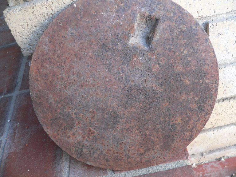
On the left is a metal disc that resides on a patio in Salt Lake City. When flipped to the “back side” it becomes an antique from the end of the 19th century. Not too interesting unless its inner character is filled with life. It is, of course, a “cover” or “plate” for a hole in a wood burning kitchen stove that cooked meals for a family. But what stove, what family?
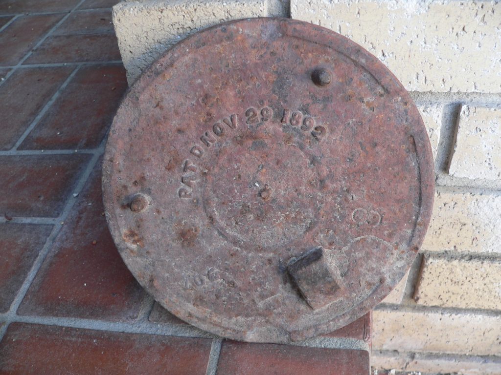
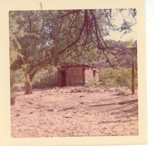
What peaks our interest is that it was picked up in Arizona at [add GPS location] in the later part of the 20th century seventy years after its significant use. It had laid ignored and rusting in a simple “shack” in a desolate valley about twelve miles southwest from Bowie AZ. (Nine and half miles in straight line on map, eight and half miles down freeway and then 12 miles on “ranch road”, or following an adventure of “local ranch road connections” which cuts out the “highway” it is only 12 miles. Journal entries from the beginning of the 20th century describe “the ranch” as about “eleven and half miles from Bowie by wagon.”
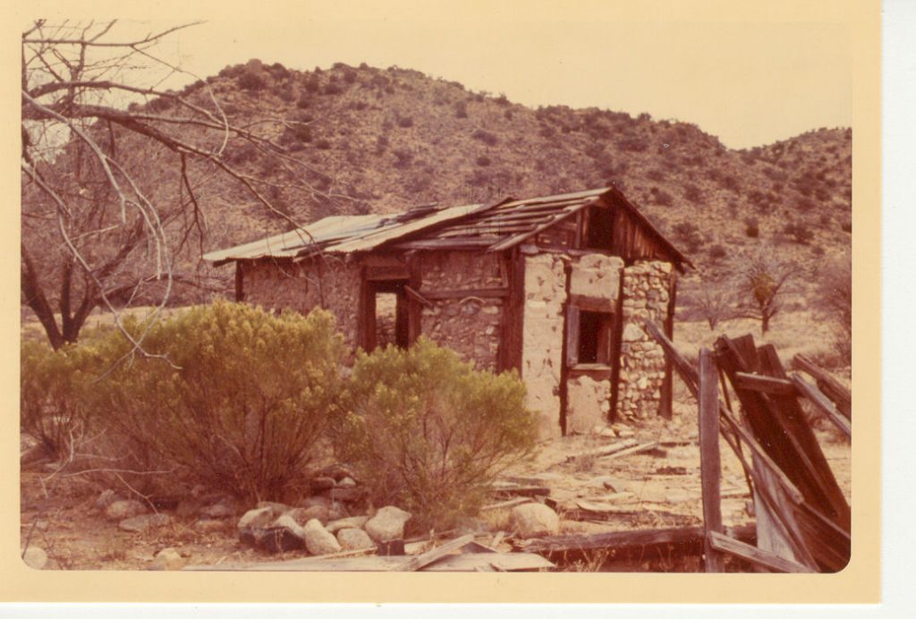
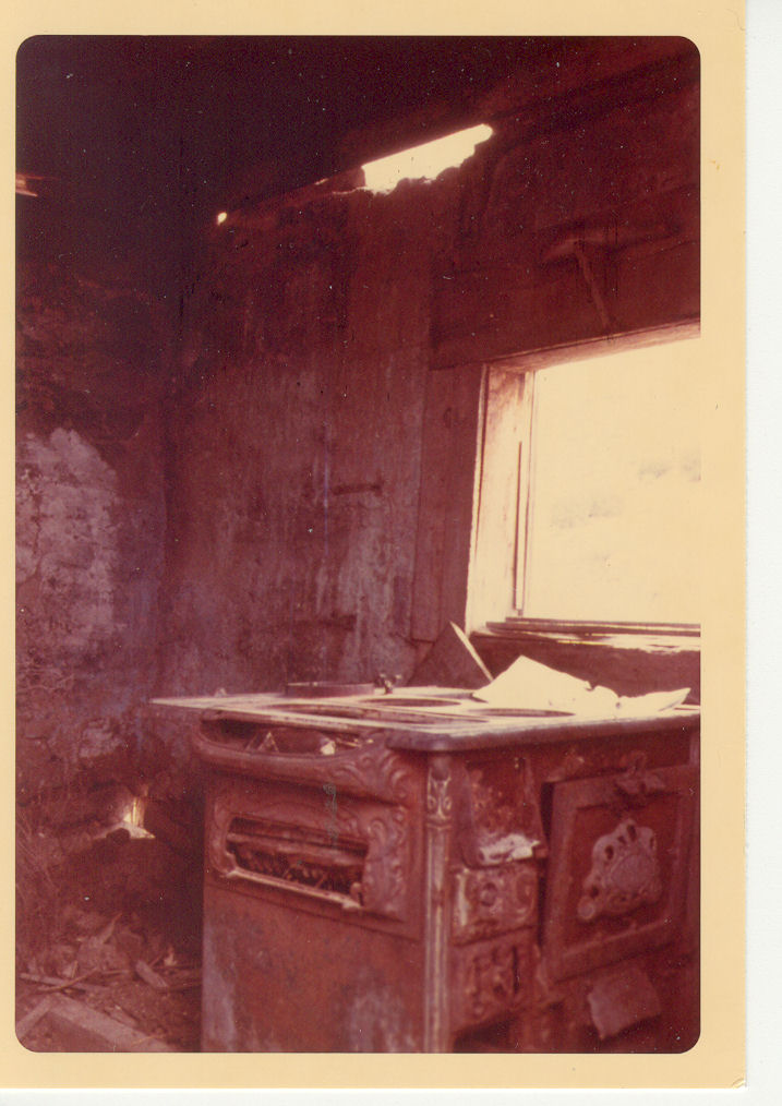
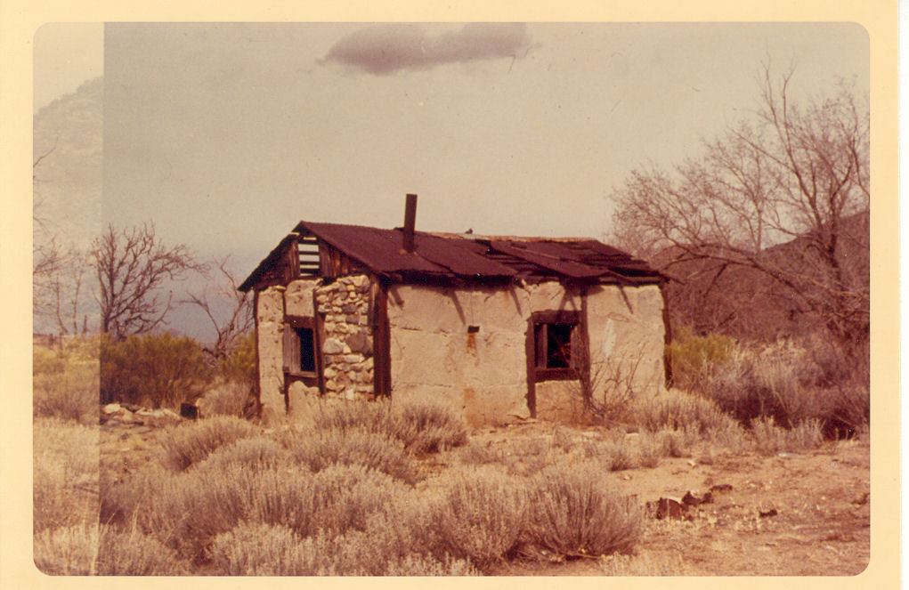
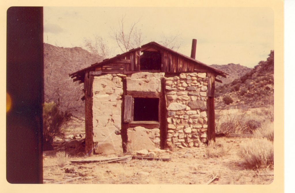
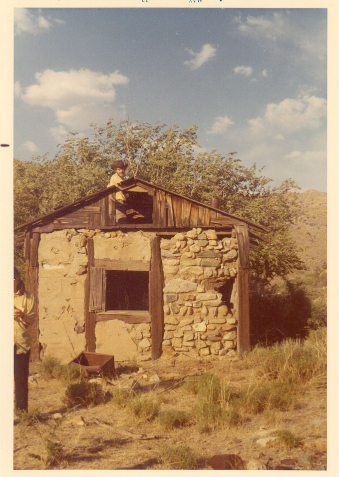
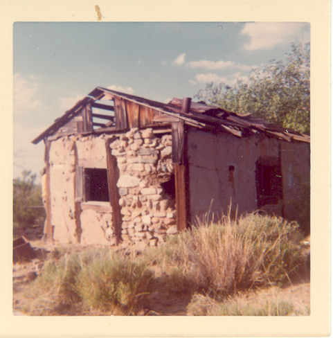
On the right is the stove in Jan 1969 ten years before the stove “cover/plate” was picked up. “Looking in the north door at stove and out west window.” The stove is on the other side of this falling down west facing wall. It’s located in a little “shack” in a desolate valley about eleven miles southwest from Bowie AZ.
Placer claims were staked on this land and later when it opened for homesteading 30 acres we claimed for farming and 290 for grazing. [family of four lived in covered wagon, until house built about 1910.] [land cleared of stumps
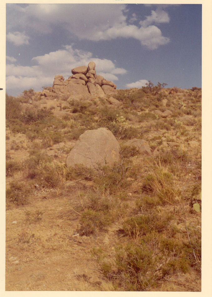
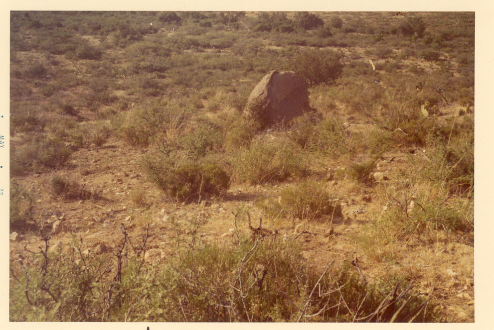
January 1969 trip
rounded corners on print — note on back of (#73, no back for #72 & no image for #73) says: “Jan 1969 Huntzinger Homestead Looking northwest from side of Maveric Mt. behind homestead. Light area was orchard Present sagebrush area was the plowed field with house in it.” processing stamp on back has May69PA
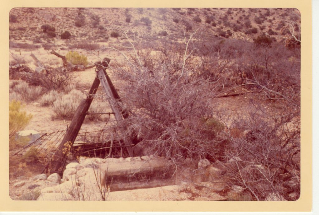
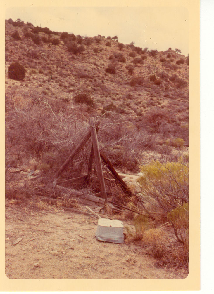
“well and water trough to the southwest of house.”
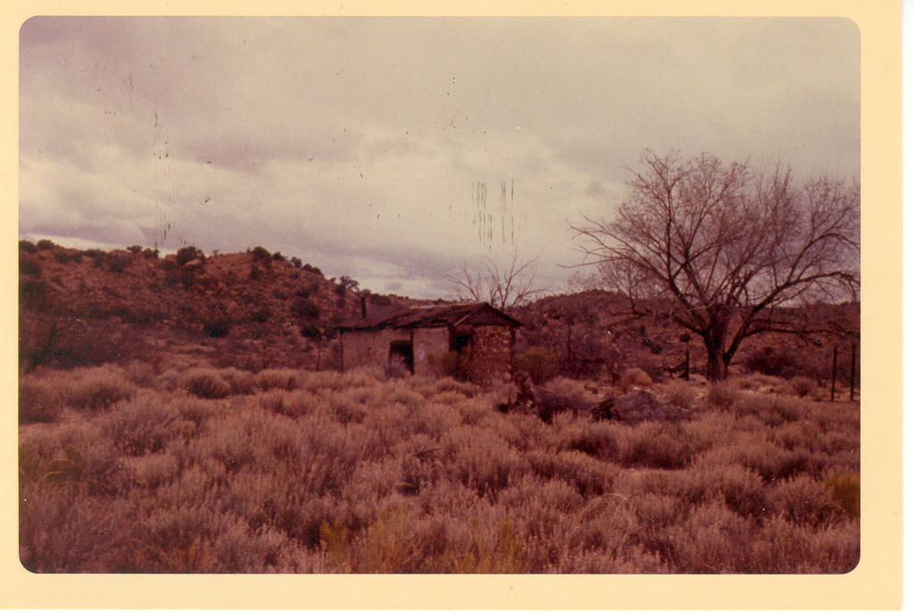
North Southwest corner of house. Jan ’69 and Kodak May69PA
“East side of the house I think this was the front or approach to the house. Flower garden would have been on these sides.”
“west side of house”
North Southwest corner of house.”
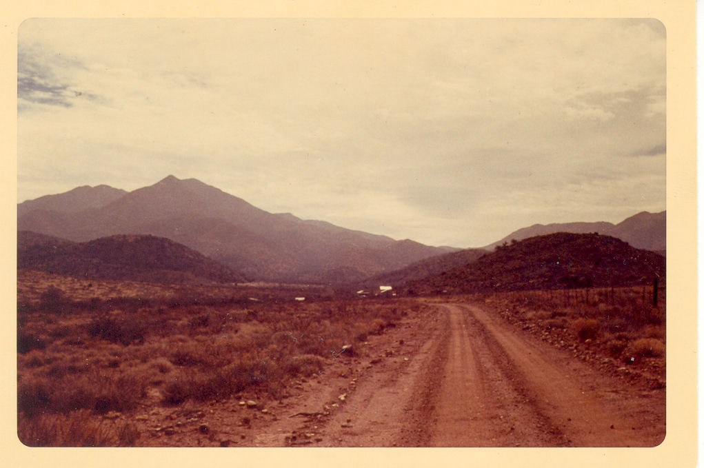
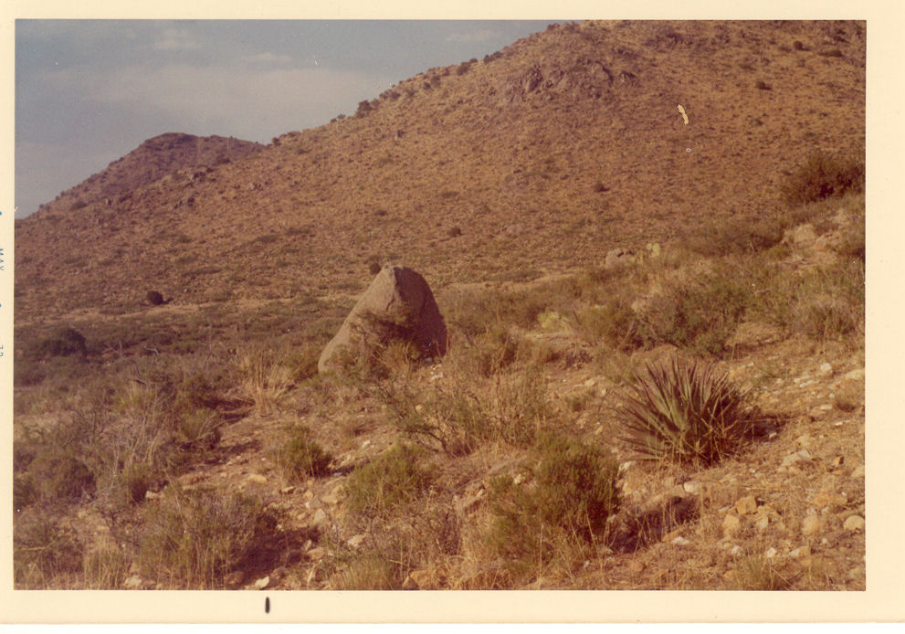
Aan ’69 “Looking south into POlecat Canyon where the Huntzinger homestead is located. Dos Cabezas Mts in the background.
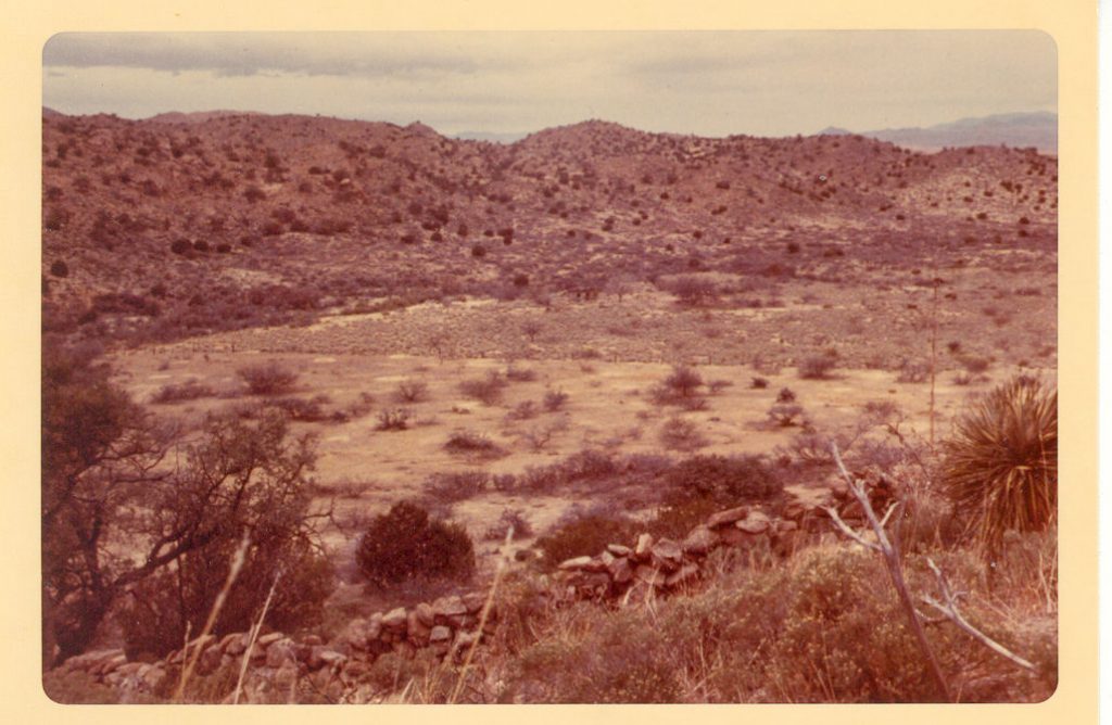
“looking northwest across old orchard and plowed field toward the house.”
“Remains of bee hives in edge of orchard.”
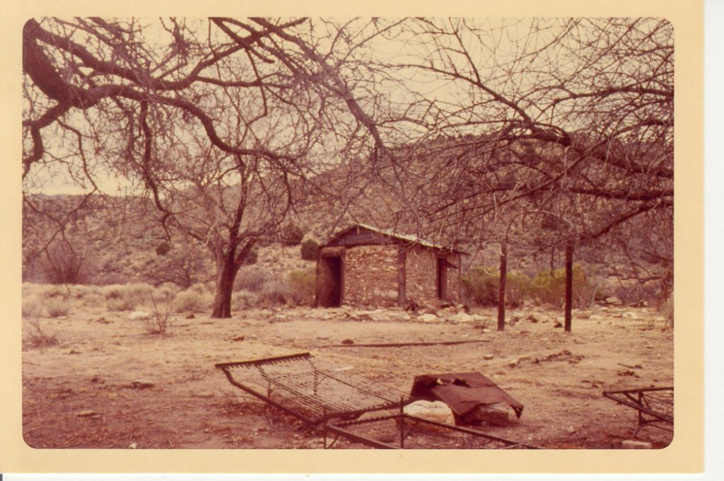
“Southeast corner of house (few minutes before a rain storm)”
“looking east across the dry creek bed.”
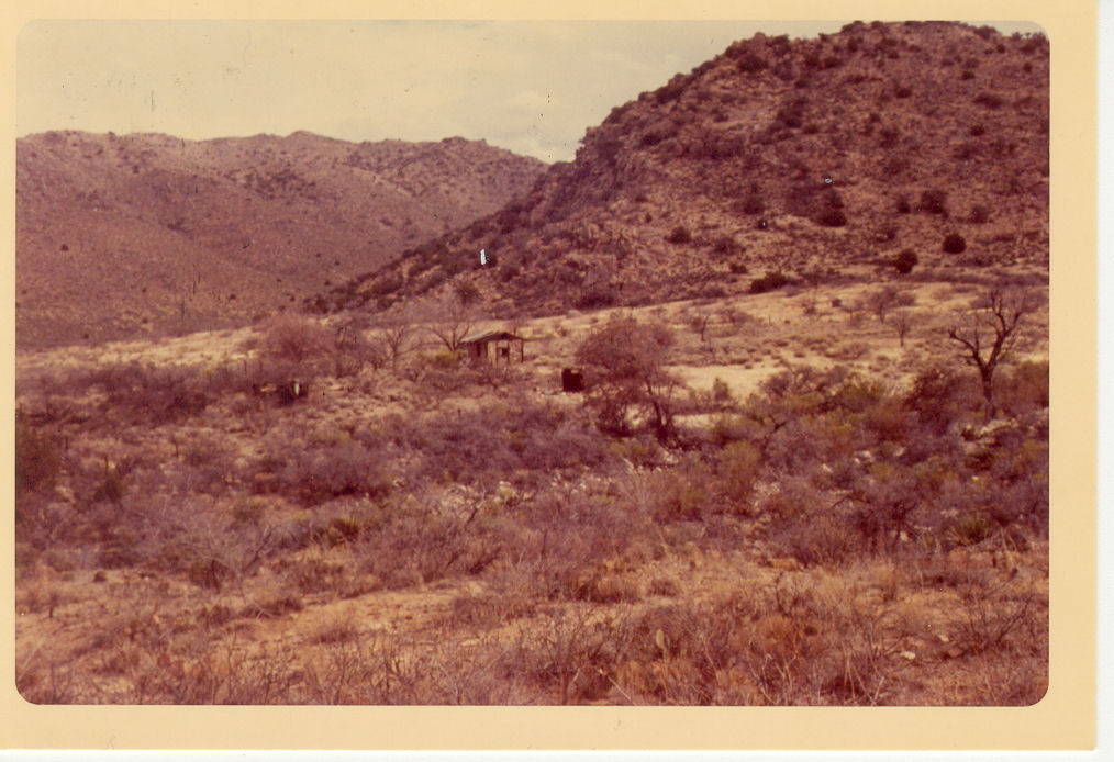
“Looking northwest from side of Maveric Mt. behind homestead. Light area was orchard Present sagebrush area was the pllowed field with house in it.”
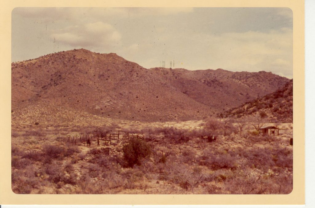
“corral to the south of the house”
May 1972 trip
Ron Huntzinger (probably Carol Huntzinger at left, same clothes as photo with Randal)
back has note of “May 1972”, looks like the back of Ron, printed with square corners
Ron has same outfit as May 1972 photo with date. Ivon, Randal, Ron Huntzinger.
probably May 1972 trip (Randal & Carol in picture)
edge of photo has May 72 processing/printing date] “Carol Huntzinger, Randal Hess”
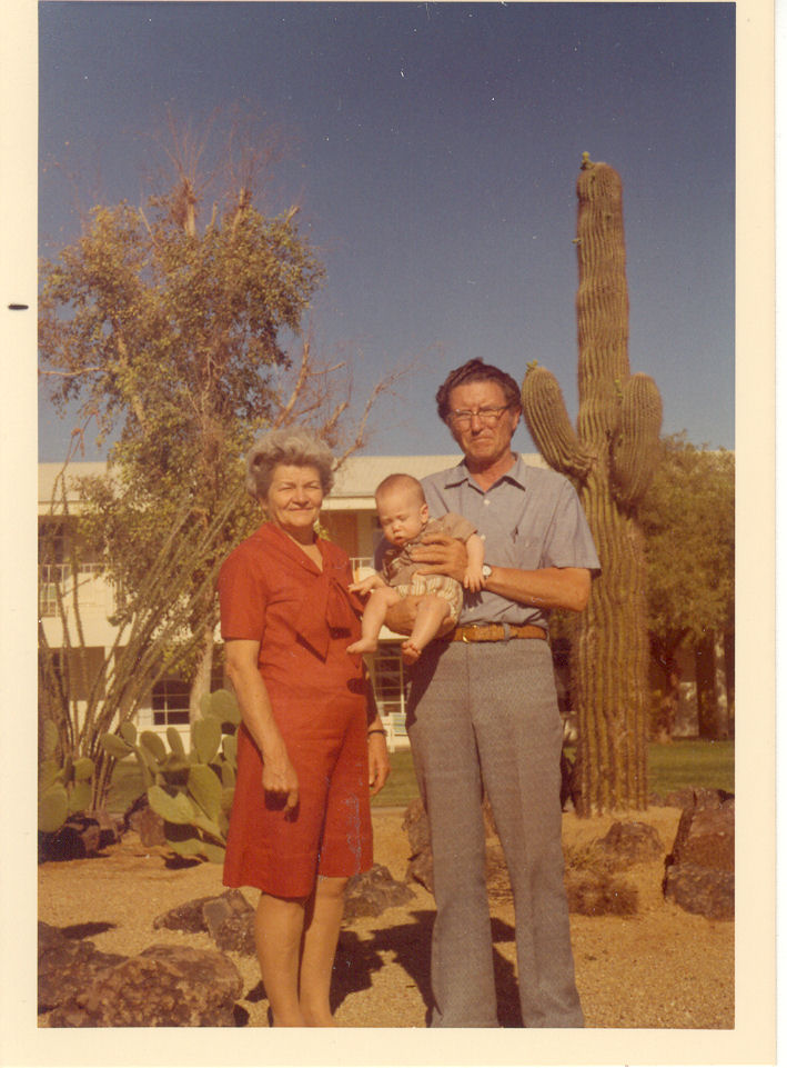
Ivon, Evelyn, Craig
back labeled “May 1972 cornfields” [however – rounded corners and lack of black stripe on edge (looks like dirt instead of stripe).